If you want to know how a place is doing, listen for what flies through it. Birds are mobile, sensitive to vegetation structure, and quick to register changes in water, insects, and human disturbance. They are, in a literal sense, the loudest thing the land has to say about itself.
This is not a new idea. John Burroughs built a career on it in the 1870s. Thoreau, two decades earlier, kept journals around Walden Pond noting first arrivals — when the bluebird returned, when the loon was heard, when the whippoorwill came back. Read together, those journals are the earliest sustained phenology record in North America. They are a working demonstration that birds can be used as the calendar by which a particular place is measured.
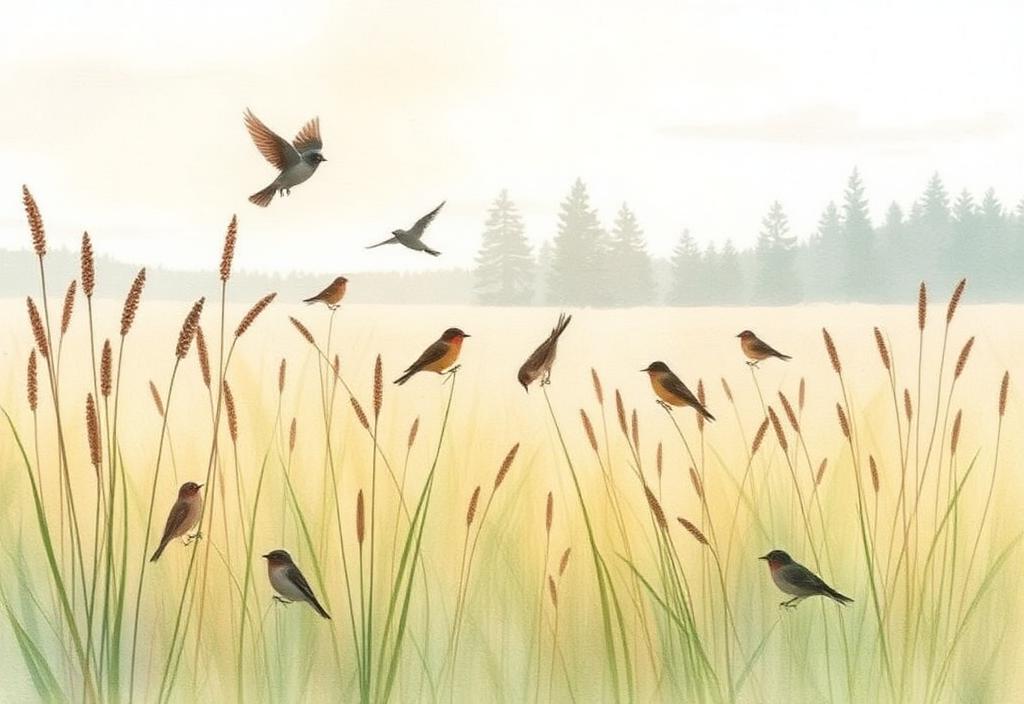
What birds tell you that other signals miss.
- Vegetation structure. Grassland sparrows leave when fields are mowed too often. Wood thrushes leave when the understory is browsed flat by deer. The bird tells you the habitat changed before a botanist would.
- Water condition. Kingfishers, herons, and dippers respond quickly to fish populations and stream clarity — themselves downstream signals of upstream land use.
- Insect health. Aerial insectivores — swallows, swifts, nightjars — track flying-insect biomass. A meadow that has lost its swallows has lost more than birds.
- Human pressure. Some species (chimney swifts, barn swallows, eastern bluebirds) actually benefit from a particular kind of low-intensity human presence, and tell you when that pattern shifts.
"The return of the birds is the return of one's self. Each spring, when the bluebird first warbles from the orchard, I am made young again."
The data already exists. You don't have to gather it.
This is the part most stewardship organizations miss. There is now a global, daily, free record of birds being noticed by ordinary people. Cornell's eBird platform has more than 100 million checklists. iNaturalist has tens of millions of bird observations with photo evidence. Nearly every preserve in North America has community-science bird data within a few kilometers of its boundary, gathered by birders for their own reasons.
A stewardship organization does not need to launch a parallel bird-recording program. It needs to read the data that birders are already producing, in the context of a particular place, on a stewardship timescale. The right question is not “what species are present this Saturday morning,” but “which birds were here a generation ago, which are still here, and what does the difference tell us about what we are doing with the land?”
How to read your local bird data, in three steps.
- Anchor a baseline. Pick the most-recorded eBird hotspot near your preserve and look at the all-time species list. That is what your county knows is possible.
- Watch the recent. Pull the last two weeks of nearby checklists during spring migration. The birds appearing now are the ones treating your land as habitat right now.
- Notice the absences. Compare today's list to the species mentioned in older accounts (Burroughs, Audubon, Thoreau, Hudson, your local Christmas Bird Count). What is no longer reported? That is your real conservation question.
"Where the birds have gone, the place has gone with them. The land remains, but it has lost the voice that named it."
The stewardship use.
For a land trust or steward, bird data is most valuable not as a checklist but as an argument. Birds are how you tell a board, a funder, a town council, and a future neighbor that this particular place is still doing the work — or that it has stopped, and that something must change. They are the most legible evidence a non-specialist will accept that a habitat is alive.
And because the data is being gathered for free, in real time, by a community of people who love birds for their own sake, the only thing left for stewards to do is the harder, slower part: to read it well.