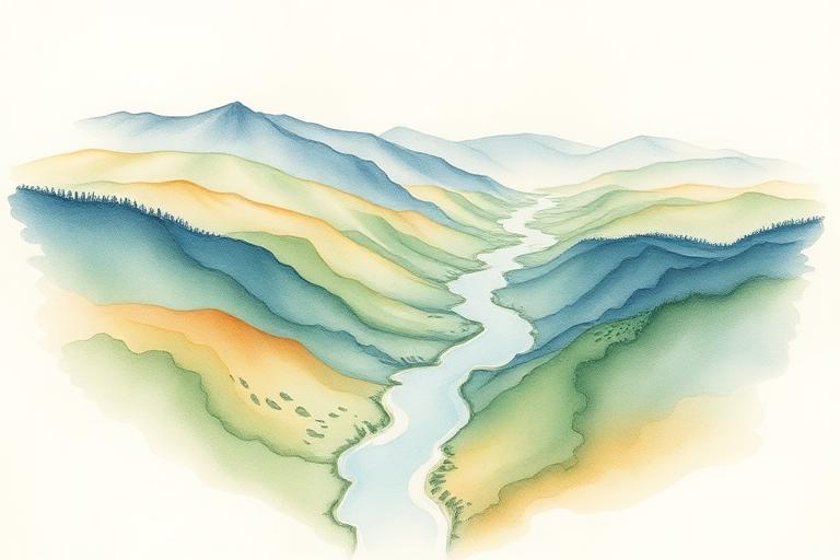
A watershed is the area of land where every drop of rain that falls on it eventually drains to the same place — the same creek, the same river, the same lake. It is a geographic fact, not a political one. The lines were drawn by water, over millennia, and they don't move.
Why it's a more honest unit than a county.
Counties are administrative. Watersheds are functional. If you want to understand what's actually happening to the water you drink, the soil you grow food in, or the wildlife that lives near you, the watershed is the right scale. It tells you who your upstream neighbors are, and what you owe to your downstream ones.
"The river is everywhere."
How to find yours.
- USGS maintains a free tool called Science in Your Watershed — type in any address and it will tell you which watershed you're in, at several nested scales.
- Most states have a watershed council or association map — these are often the best gateway into local conservation work.
- Walk it. Find the highest point near where you live, then walk downhill until you find water. That's your watershed in miniature.
What changes when you know.
It becomes harder to think of conservation as something that happens elsewhere. The creek behind the school, the wetland by the highway, the field your neighbor stopped mowing — these all become part of one connected system that you are inside of. Most of the people doing the most useful conservation work in America started by paying attention at this scale.